Beyond Everest Base Camp: 5 Nepalese Valleys Almost Nobody Treks
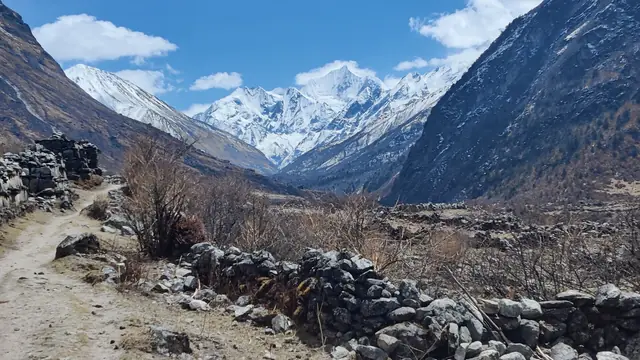
The Everest region draws the crowds. These five Nepalese valleys offer similar mountain scenery with a fraction of the trekkers and no permit queues.
The country where trekking became an industry, and still the best classroom for learning how altitude works.
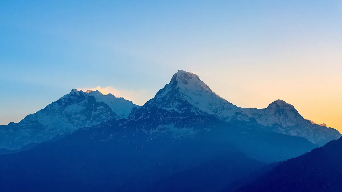
Nepal offers the clearest altitude progression anywhere on earth. You can walk from subtropical rice terraces to 5,500 m passes in ten days, sleeping in tea houses the whole way, and never carry a tent. That accessibility is exactly what makes it dangerous: altitude does not care how fit you are, and the trekking infrastructure makes it easy to gain height far faster than you should.
Reference facts for planning Nepal.
Where the good months sit, and why.
October – November
The classic season. Clear skies, stable weather, comfortable temperatures and the busiest trails of the year.
March – May
Warmer, with rhododendron bloom in April. Higher haze, and afternoons can bring thunderstorms.
December – February
Quiet trails and clear views at lower elevations, but high passes may be snowed in and tea houses close.
Months to think twice about: June to early September. The monsoon brings leeches, landslides, clouded-out views and flight cancellations into Lukla. Some regions, such as Upper Mustang, sit in rain shadow and stay viable.
The places that justify the trip, and the guides we have written for them.
Khumbu
The classic twelve-day walk to 5,364 m, with a tea house every couple of hours and a small airstrip at the top of the region.
Annapurna
Crosses a 5,416 m pass and moves from Hindu lowlands to Tibetan Buddhist high desert. Shorter now that roads reach further in.
North of Kathmandu
The best value trek in the country: glaciated valleys, a fraction of the crowds, and reachable by road from the capital.
Rain shadow north
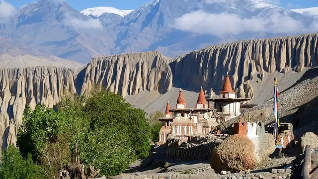
A restricted area requiring a special permit and a guide — a walled city, cave monasteries and a landscape that looks like Tibet.
Almost everyone needs a tourist visa, but it is straightforward and available on arrival at Kathmandu airport and land borders.
Use the official Nepal Department of Immigration website for the visa application; third-party agents charge for a service you can do yourself.
Rough per-person costs, excluding international flights.
Three ways to structure a trip, depending on how much time you have.
12 – 14 days
Fly to Lukla, walk to base camp, return. Add two acclimatisation days and a buffer for weather-cancelled flights.
12 – 16 days
Besisahar to Jomsom or Pokhara over Thorong La. Now often shortened by road access at both ends.
8 – 10 days
Drive from Kathmandu, walk the valley, optionally cross the high lakes. Excellent first Himalayan trek.
Domestic flights to Lukla, Pokhara and Jomsom save days but are frequently delayed by weather — always keep buffer days before an international flight. Tourist buses and private jeeps cover the road network slowly. Within trekking regions you walk; there are no roads in most of the high country.
Acute mountain sickness is the dominant risk and it is entirely manageable if you respect it. Climb no more than 300–500 m of sleeping altitude per day above 3,000 m, take a rest day every 1,000 m, and know the symptoms: headache, nausea, dizziness and loss of appetite. The correct response to worsening symptoms is to descend — descending a few hundred metres often resolves it within hours.
Long-form guides published for this destination.
The Everest region draws the crowds. These five Nepalese valleys offer similar mountain scenery with a fraction of the trekkers and no permit queues.
Essential gear and preparation tips for high-altitude trekking. Acclimatization, layers, footwear, and safety equipment.